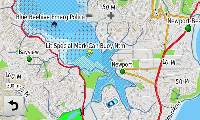
OZtopo V9.5 - Australian Topographical Maps for Garmin GPS units without mSD slot
Spend a lot of time bushwalking or 4WDing?
Need more detail on your Garmin GPS than the standard maps?
Then OZtopo are the maps you need!
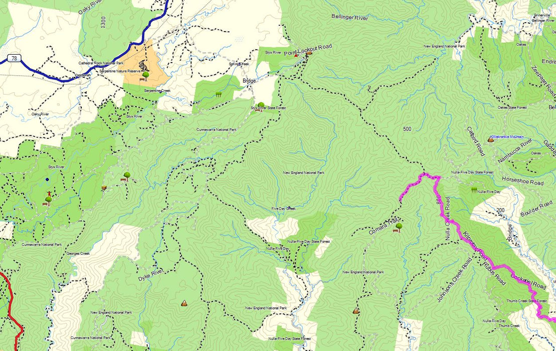
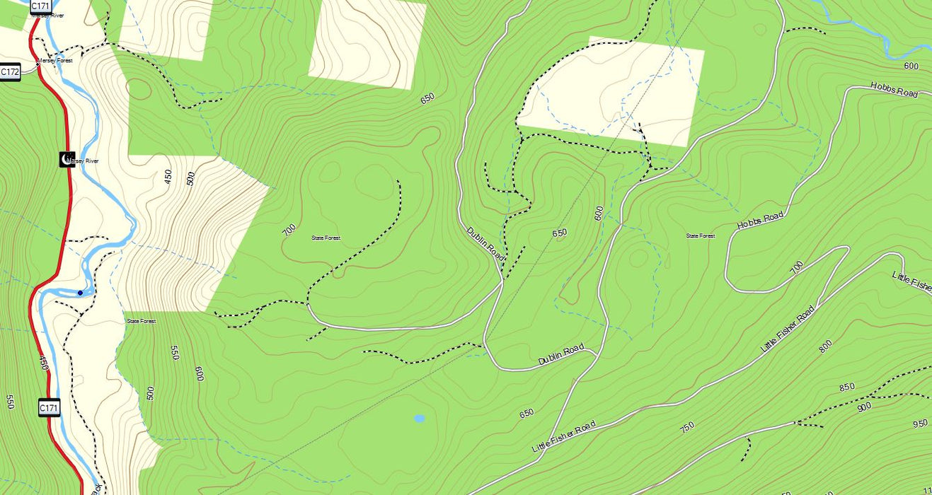
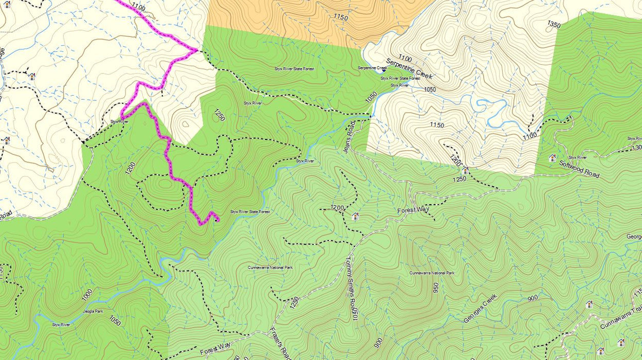
Not just contours, a detailed topographical map (1:25k) covering all of Australia, including roads, 4WD tracks, walking trails and more!
The original Topographic Map product for Garmin GPS units.
This version only Compatible with the GPS units without memory cards.
If you have a GPS with a memory card slot, select this product,
First released March 2006 and still growing!
Road and Track data provided by
![]()
OZtopo V9, our latest release, provides an alternative map, suitable for use on Garmin GPS units. It has been designed from the outset as a detailed topographical map suitable for bushwalking, 4WDing and general touring.
Unique OZtopo features that you won't find in other products:
- 10m contours from GeoScience Australia Data - more closely representing on ground data
- Autoroute over all road types (including 4WD tracks)
- Roads displayed at higher zoom levels allowing to visually see alternative routes when in the outback
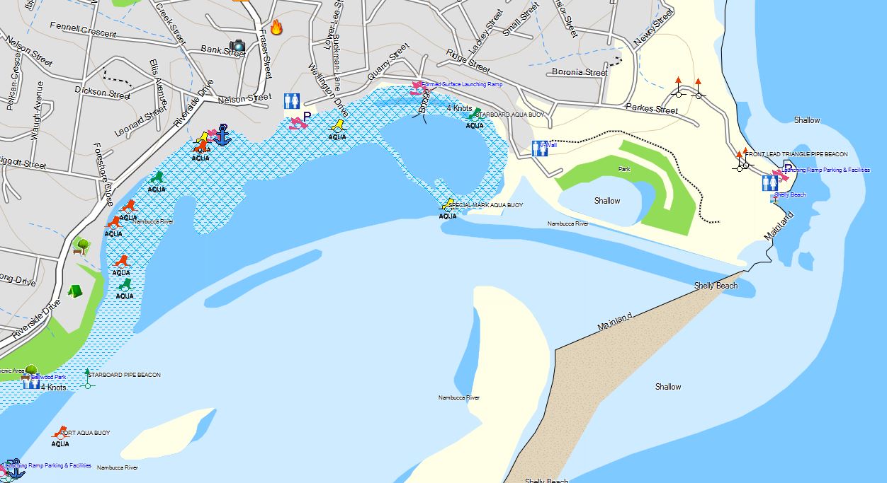
- NSW, Qld & SA Marine Data - lights, buoys, markers and boat ramps for both coastal and inland waterways.
- The ability to turn contours on and off and/or Creeks and Streams - makes maps easier to read
- Small map size (1.9GB), without loss of detail, so you still have room on your SD card to load other maps, eg BlueChart, or music
- Similar information to that found on 1:25,000 topo land paper maps
- Supported on most Garmin mapping units, including marine units and older handhelds and Street Navigators
- Upgradeable from previous versions for just $99
- Inclusion of CAMPS11 locations
- Inclusion of camping spots from Boiling Billy
- Ability to print maps from BaseCamp without restriction
- USB flash card also supplied to allow installation on MAC and/or PC without having to connect your GPS to view maps
General OZtopo Features:
- Autorouting - will automatically calculate your route - GPS model dependent.
- Contours to 10m, provided as a transparent layer for concurrent use with other Garmin maps eg City Navigator (some models only)
- 1.36 KM's of roads, streets and tracks
- Over 768,000 KM's of 4WD tracks, fire trails and walking tracks
- Searchable street and road names and house number, bay names and more (depending an GPS unit)
- Detailed coastline
- Reefs, shoals, sand ridges, fences, wind breaks, swamps, powerlines, pipelines, rock outcrops, craters, etc
- NSW Marine Data - lights, buoys, markers and boat ramps for both costal and inland waterways.
- 2 million+ Points of interest (Bays, Post Offices, Medical,...)
- Combined contour and road layer for viewing on PCs and MACs
(Garmin BaseCamp, MAC or PC is available from here as a free download) - Contours can be overlaid over other Garmin mapping products, ie for a contour layer over City Navigator *certain GPS models only.
- Loads into Garmin's mapping products (BaseCamp - MAC or PC, MapSource - PC) for consistency and ease of use
- Can be loaded to most Garmin mapping units, click here for a complete list
- Optimised versions for different GPS models.
What's new in V9:
- Updated of NSW Marine Data - lights, buoys, markers and boat ramps for both coastal and inland waterways.
- Inclusion of SA & Qld marine Data (limited)
- Unrestricted Autorouting (GPS model dependant) - ability to autoroute over much longer distances, much improved calculation times and along ALL road types
- Inclusion of CAMPS9 locations
- Inclusion of remote camping spots from Boiling Billy Publications
- Inclusion of Vic & NSW high country hut locations
- Updated POIs, 2+ million
- Updated mapping from Map Data Services as of their Q4 2017 release with additional roads, tracks, pois and National Parks and State forest boundaries.
- Available on 64GB mSD - suit Zumo 395,396,595, BMW Nav V & VI ONLY
- More information can be found here
Only Compatible with the GPS units without memory cards.
Download a free sample here
When ordering, please specify GPS System ID.


